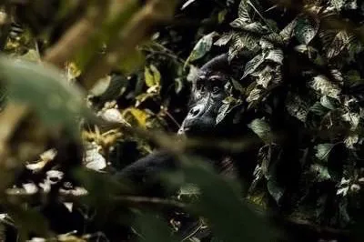
Travel Guide — South-West Uganda
Kisoro
Uganda's highest town, at the foot of three volcanoes. The base for Mgahinga gorilla trekking, Lake Mutanda and the Virunga border region.
Getting to Kisoro
From Buhoma
Buhoma to Kisoro is roughly 80 to 100 kilometres by road, a drive of three to four hours depending on the route and road conditions. The most common route goes south through Butogota, east to Kabale, then south-west to Kisoro. The stretch from Kabale to Kisoro is surfaced but winding — the last section descends into the Kisoro basin with views of the three volcanoes on clear days.
A private hire vehicle is the most practical option from Buhoma. There is no direct public transport link; shared taxis go via Kabale, which adds time. Budget roughly half a day for the transfer if you are also stopping for lunch or a viewpoint en route.
From Kampala
Kampala to Kisoro is approximately 500 kilometres, a drive of nine to ten hours on the main south-western highway via Mbarara and Kabale. Night buses depart from Kampala and arrive in Kisoro in the early morning. A private vehicle is more comfortable and allows stops at Mbarara (Lake Mburo National Park) or Kabale (Lake Bunyonyi) along the way.
Charter flights serve Kihihi airstrip, which is closer to Buhoma than to Kisoro — roughly 2.5 hours by road from Kisoro. There is no commercial scheduled air service direct to Kisoro.
From Rwanda
The Cyanika border post, 12 kilometres north of Kisoro, connects Uganda to Rwanda. Kigali to Kisoro takes approximately three hours via Musanze (Ruhengeri), the Rwandan base for Volcanoes National Park. The crossing is straightforward for most nationalities, though visa requirements vary — check current entry requirements for both countries before travel.
What to Do in and Around Kisoro
Mgahinga Gorilla National Park
The park headquarters for Mgahinga Gorilla National Park is roughly 14 kilometres south of Kisoro town, at approximately 2,200 metres. Gorilla trekking here centres on the single habituated Nyakagezi family. Permits cost $800 USD per person (UWA rate, 2026) and must be booked in advance through the Uganda Wildlife Authority or a licensed operator.
Golden monkey tracking is Mgahinga's other headline activity — and its most distinctive one. The golden monkey (Cercopithecus kandti) is found only in the Virunga volcanic forests; Mgahinga is the only place in Uganda where you can track them. Permits cost significantly less than gorilla permits.
The Batwa Trail, also run from the park headquarters, offers a guided cultural experience tracing the ancestral forest home of the Batwa — the indigenous community who lived in Mgahinga before it was gazetted as a national park. The trail lasts three to four hours.
Volcano Hikes
All three Virunga volcanoes accessible from Mgahinga can be hiked as day treks from the park headquarters:
Muhavura — 4,127 m
The highest of the three, and the most demanding. The ascent gains roughly 1,500 metres from the park headquarters through bamboo forest, heath zone and finally afro-alpine terrain to the summit crater lake. The hike takes six to eight hours return. Clear summit days give views into Rwanda and the DRC. (Source: Reiseführer Uganda, 2020)
Sabinyo — 3,645 m
Sabinyo means "old man's teeth" in Kinyarwanda — the name refers to its three jagged peaks, all climbable. The summit ridge marks the exact three-country border between Uganda, Rwanda and the DRC, making it one of the few places in the world where you can stand in three countries simultaneously. The hike takes five to six hours return and involves ladders and ropes on the upper sections. (Source: Reiseführer Uganda, 2020)
Gahinga — 3,474 m
The most accessible of the three, passing through a small crater swamp with giant lobelias near the summit. The hike takes five to six hours return and is considered moderate. (Source: Reiseführer Uganda, 2020)
All volcano hikes cost $80 USD per person and depart from the park headquarters. Guides are mandatory. Acclimatisation is worth building into your itinerary — arriving at Kisoro (2,000 m) the day before any planned summit attempt makes a real difference on the upper sections.
Lake Mutanda
Lake Mutanda lies roughly 15 kilometres north of Kisoro, framed by the Virunga volcanoes and dotted with small islands. It is one of the most scenically striking lakes in Uganda — the kind of place that tends to extend stays beyond what visitors had planned. Activities on the lake include dugout canoe trips to the islands, birdwatching (herons, cormorants, kingfishers and waterbirds are plentiful) and guided walks along the shore.
A two-day guided walk connecting Buhoma (or Nkuringo in Bwindi) to Kisoro passes through the hills and crosses Lake Mutanda by dugout canoe — with a night at a lakeside lodge between the stages. The full route covers approximately 20 kilometres on foot and is offered by specialist operators, starting at around $300 USD for two people (source: Reiseführer Uganda, 2020). It is an excellent way to link Bwindi and Mgahinga without simply repeating a road transfer.
Where to Stay near Kisoro
Most accommodation options near Kisoro are either at the park edge, on Lake Mutanda, or in the town itself. There is no large hotel cluster — the area is small and relatively undeveloped compared to Buhoma.
Mount Gahinga Lodge
LuxuryThe only luxury lodge directly at the boundary of Mgahinga Gorilla National Park, with eight bandas. This is the closest accommodation to the park headquarters and the most convenient for early-morning gorilla trekking and volcano hikes. (Source: Reiseführer Uganda, 2020)
At the park gate, Mgahinga sector
Chameleon Hill Lodge
LuxurySet on the north shore of Lake Mutanda with individually designed cottages and a restaurant. Double rooms from $400 USD per night including breakfast (source: Reiseführer Uganda, 2020). The views of the Virunga volcanoes from the lake terrace are exceptional, particularly at dawn.
North shore, Lake Mutanda — ~15 km from Kisoro
Mutanda Eco Community Resort
Mid-range / CommunityAn eco camp on the south shore of Lake Mutanda, managed by the Mgahinga Community Development Organisation. A more affordable option that keeps tourism income within the local community. Canoe hire and birdwatching are available directly from the camp.
South shore, Lake Mutanda — ~15 km from Kisoro
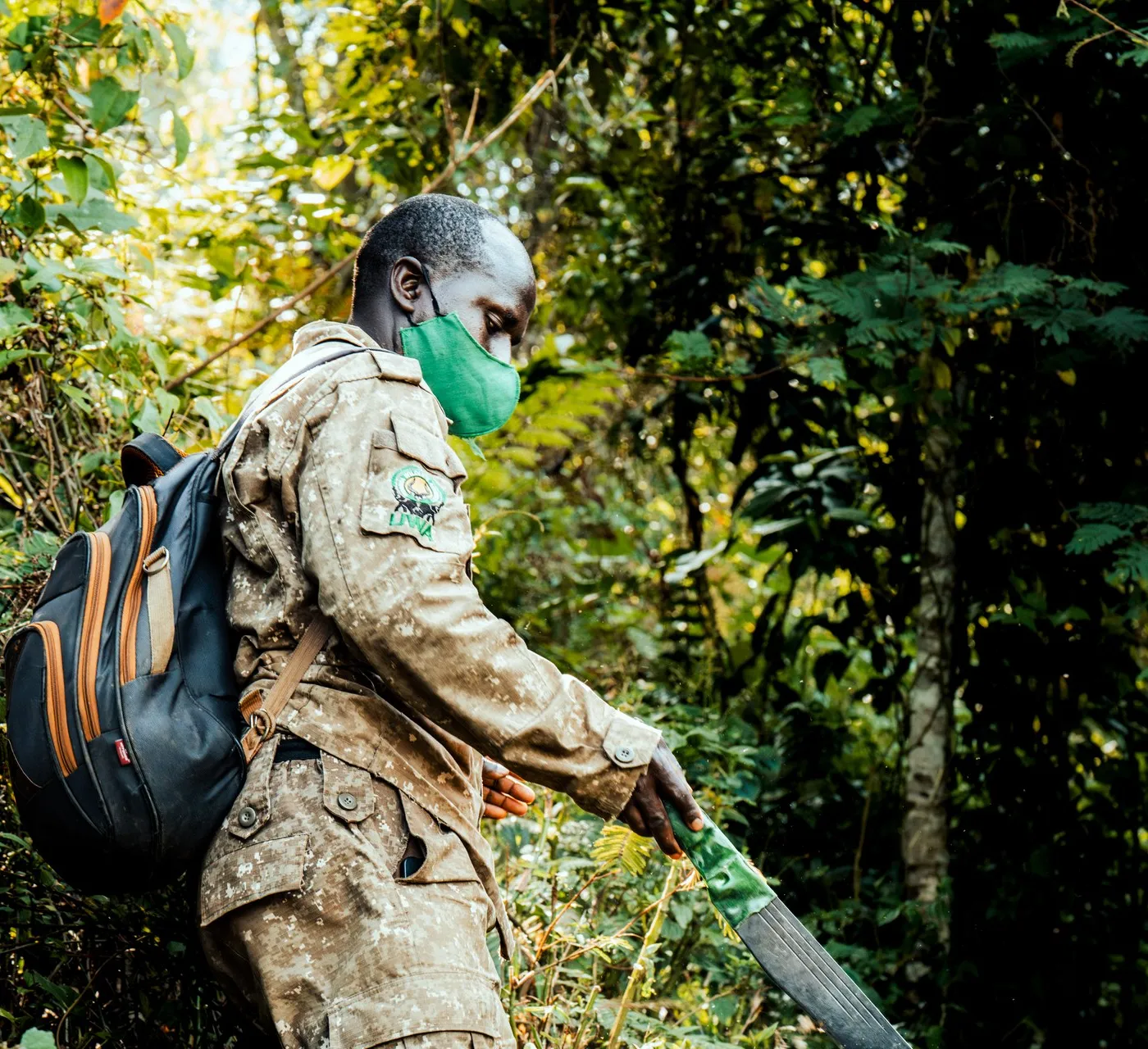
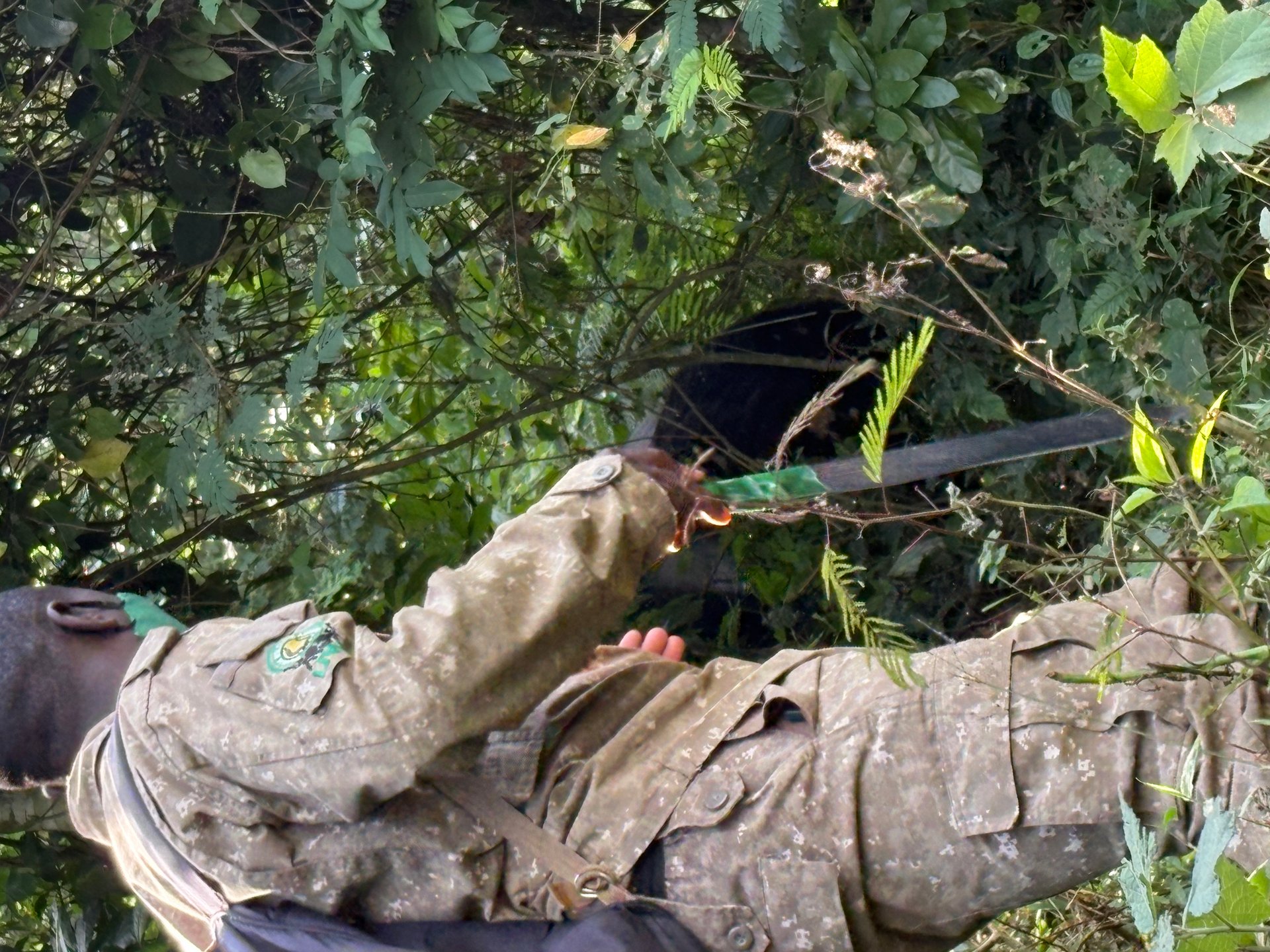
Both Mgahinga and Bwindi treks are led by a tracking guide and two rangers. The terrain in Mgahinga is more open at higher altitude; the forest density in Bwindi is greater. Photo: Bwindi, January 2026.
Practical Tips for Kisoro
Altitude
Kisoro sits at ~2,000 m. Arrive the day before a volcano hike or gorilla trek if you have come from lower elevations. Light exertion on arrival day helps acclimatisation.
Weather
Mornings are often clear; cloud builds by mid-afternoon. Trek early. The dry seasons (June–September, December–February) offer the clearest views and drier trails. Rain gear is worth carrying year-round at this altitude.
Currency
Ugandan shillings (UGX) are the local currency. ATMs are available in Kisoro town but not always reliable — carry sufficient cash from Kabale or Kampala. Park fees and lodge deposits are paid in USD.
Mobile data
MTN and Airtel both have coverage in Kisoro town and along the main road to MGNP. Signal drops in the park itself. Download offline maps before you arrive.
Border crossing
The Cyanika crossing to Rwanda is 12 km from Kisoro. It opens daily and is straightforward for most visitors. Confirm current visa-on-arrival policy for your nationality before travel.
Permit timing
Mgahinga gorilla permits sell out in peak season. Book through the UWA or a licensed operator at least 3 months in advance for June–September visits. Volcano hike permits are generally easier to arrange.
Common Questions
What is Kisoro known for?
Kisoro is Uganda's main base for Mgahinga Gorilla National Park — gorilla trekking, golden monkey tracking and Virunga volcano hikes. It is also the closest Ugandan town to the Cyanika border crossing into Rwanda, making it a natural stop for visitors combining both countries.
How far is Kisoro from Buhoma?
Approximately 80 to 100 kilometres by road via Kabale — roughly three to four hours. Private hire is the most practical option; no direct public transport link exists.
Can I do a multi-day walk from Buhoma to Kisoro?
Yes. A two-day guided walk via Lake Mutanda covers approximately 20 kilometres on foot, with a canoe crossing of Lake Mutanda between the two stages. Specialist operators in Kampala run this route, starting at around $300 USD for two people.
What altitude is Kisoro?
Kisoro sits at approximately 2,000 metres above sea level at the foot of the Virunga volcanoes (source: Reiseführer Uganda, 2020). It is significantly cooler than Kampala or Entebbe — pack a fleece even in the dry season.
Is Lake Mutanda worth visiting?
Yes. Lake Mutanda, 15 km north of Kisoro, is one of the most scenic lakes in south-west Uganda, with the Virunga volcanoes reflected in the water on clear mornings. Canoeing, birdwatching and shore walks are available from both lakeside lodges.
Plan the Wider South-West Circuit
Mgahinga vs Bwindi
Same $800 permit, very different parks. Which one is right for your gorilla trekking trip?
How to Get to Buhoma
Kampala to Buhoma: buses, private hire and the road conditions you should know about before you go.
Gorilla Permit Guide
How to book a $800 UWA gorilla trekking permit — timing, process and what to watch out for.